Terms of Use
Effective Date: June 7, 2026 | Version: 2026-06-07
These Terms of Use ("Terms") form a binding agreement between you and Scheme O Holdings, LLC, a California limited liability company ("Scheme O", "we", "us", or "our"), governing your access to and use of the SCHEME O web and desktop application and related services (collectively, the "Service"). By creating an account, checking the acceptance box, or otherwise accessing or using the Service, you agree to be bound by these Terms and by our Privacy Policy. If you do not agree, do not access or use the Service.
1. Eligibility
You must be at least 18 years old and able to form a binding contract to use the Service. If you use the Service on behalf of an organization, you represent that you are authorized to bind that organization to these Terms.
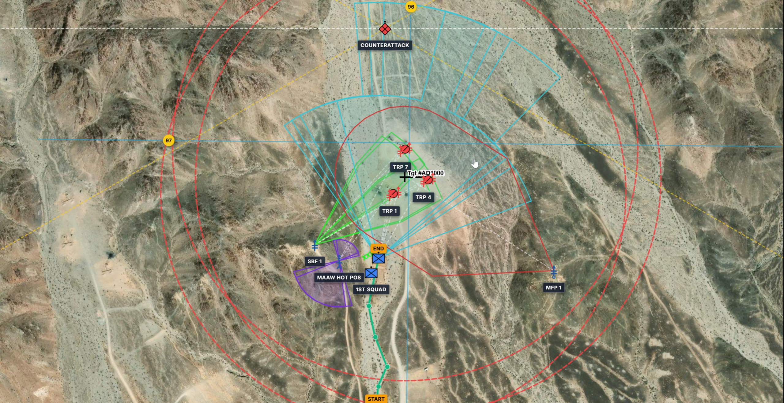
2. Educational & Planning Use Only
WARNING: SCHEME O is a planning aid and educational tool only. It is NOT a certified fire control system, navigation system, survey instrument, or a substitute for official tactical decision-making aids, range safety procedures, or authoritative data sources.
You agree that you will not rely on SCHEME O for real-world combat operations, live-fire range safety, weapons employment, navigation, or any situation in which inaccuracy, error, or unavailability could result in injury, loss of life, or property damage. All computations, geometries, symbology, and outputs must be independently verified against official, authoritative sources before any operational use. You assume all risks associated with use of the Service.
3. No Affiliation or Endorsement
SCHEME O is an independent product of Scheme O Holdings, LLC. It is not affiliated with, endorsed by, sponsored by, or approved by the U.S. Department of Defense, any branch of the U.S. or any foreign armed forces, or any governmental agency. References to military standards, symbology (such as MIL-STD-2525), branches, or ranks are for interoperability and descriptive purposes only.
4. License & Restrictions
Subject to these Terms, we grant you a limited, non-exclusive, non-transferable, revocable license to access and use the Service for your own lawful planning and educational purposes. You agree not to: (a) copy, modify, reverse engineer, decompile, or create derivative works of the Service except as permitted by law; (b) resell, sublicense, rent, or commercially exploit the Service without our written consent; (c) access the Service through automated means or scrape it; (d) circumvent security or usage limits; or (e) remove proprietary notices.
5. Accounts & Security
You are responsible for the accuracy of the information you provide, for all activity under your account, and for keeping your credentials confidential. Notify us promptly at contactus@schemeo.org of any unauthorized use.
6. Acceptable Use
- You will use the Service in compliance with all applicable laws, regulations, and orders, including those governing the handling of military or sensitive information.
- You will not upload, store, or transmit classified, controlled unclassified, or otherwise legally restricted information through the Service unless you are authorized to do so and the Service is approved for that purpose; the Service is not certified for classified processing.
- You will not use the Service to infringe rights, distribute malware, harass others, or engage in unlawful activity.
- You are solely responsible for the data you input and must verify all outputs independently against official sources.
7. User Content & Data
You retain ownership of the scenarios, geometries, and other content you create ("User Content"). You grant us a limited license to host, store, process, and display your User Content solely to operate and provide the Service to you. You represent that you have the rights necessary to submit your User Content and that it does not violate any law or third-party right.
8. Intellectual Property
The Service, including its software, design, symbology rendering, and trademarks, is owned by Scheme O Holdings, LLC and protected by intellectual property laws. Except for the license granted above, no rights are transferred to you.
9. Third-Party Services
The Service relies on third-party providers (including hosting, authentication, application-store distribution, and map and terrain data providers). Your use of those components may be subject to their terms, and we are not responsible for third-party services or data.
10. Export Control & Lawful Use
You agree to comply with all applicable U.S. export control and sanctions laws and regulations. You represent that you are not located in, and will not use the Service in or for the benefit of, any embargoed jurisdiction or restricted party, and that you will not use the Service for any purpose prohibited by law.
11. Disclaimer of Warranties
THE SERVICE IS PROVIDED "AS IS" AND "AS AVAILABLE" WITHOUT WARRANTIES OF ANY KIND, EXPRESS OR IMPLIED, INCLUDING WARRANTIES OF MERCHANTABILITY, FITNESS FOR A PARTICULAR PURPOSE, ACCURACY, TITLE, AND NON-INFRINGEMENT. WE DO NOT WARRANT THAT THE SERVICE WILL BE ERROR-FREE, ACCURATE, SECURE, OR UNINTERRUPTED.
12. Limitation of Liability
TO THE MAXIMUM EXTENT PERMITTED BY LAW, SCHEME O HOLDINGS, LLC AND ITS MEMBERS, OFFICERS, AND AGENTS SHALL NOT BE LIABLE FOR ANY INDIRECT, INCIDENTAL, SPECIAL, CONSEQUENTIAL, EXEMPLARY, OR PUNITIVE DAMAGES, OR FOR ANY LOSS OF PROFITS, DATA, OR GOODWILL, ARISING OUT OF OR RELATING TO THE SERVICE, EVEN IF ADVISED OF THE POSSIBILITY. YOU SPECIFICALLY WAIVE ANY CLAIM FOR DAMAGES RESULTING FROM RELIANCE ON THE SERVICE IN REAL-WORLD OPERATIONS. OUR TOTAL AGGREGATE LIABILITY FOR ALL CLAIMS SHALL NOT EXCEED THE GREATER OF (A) THE AMOUNTS YOU PAID US FOR THE SERVICE IN THE TWELVE MONTHS PRECEDING THE CLAIM, OR (B) ONE HUNDRED U.S. DOLLARS ($100). SOME JURISDICTIONS DO NOT ALLOW CERTAIN LIMITATIONS, SO SOME OF THE ABOVE MAY NOT APPLY TO YOU.
13. Indemnification
You agree to indemnify, defend, and hold harmless Scheme O Holdings, LLC and its members, officers, and agents from and against any claims, liabilities, damages, losses, and expenses (including reasonable attorneys' fees) arising out of or related to your use of the Service, your User Content, or your violation of these Terms or any law.
14. Termination
We may suspend or terminate your access to the Service at any time, with or without notice, for any reason, including violation of these Terms. Upon termination, the license granted to you ends; provisions that by their nature should survive (including Sections 7–13 and 15–17) will survive.
15. Modifications
We may modify the Service or these Terms at any time. When we make material changes to these Terms, we will update the Effective Date and Version above and, where appropriate, require renewed acceptance. Your continued use after changes become effective constitutes acceptance.
16. Governing Law & Venue
These Terms are governed by the laws of the State of California, without regard to conflict-of-law principles. Subject to Section 17, the state and federal courts located in California shall have exclusive jurisdiction, and you consent to venue there.
17. Dispute Resolution & Class Action Waiver
To the extent permitted by law, any dispute arising out of or relating to the Service or these Terms shall be resolved by binding individual arbitration administered under the rules of a recognized arbitration provider, rather than in court, except that either party may bring an individual claim in small-claims court or seek injunctive relief to protect intellectual property. You and Scheme O waive any right to a jury trial and to participate in a class, collective, or representative action. If this waiver is found unenforceable, the dispute shall proceed in the courts identified in Section 16.
18. General
These Terms and the Privacy Policy are the entire agreement between you and us regarding the Service. If any provision is held unenforceable, the remaining provisions remain in effect. Our failure to enforce a provision is not a waiver. You may not assign these Terms without our consent; we may assign them in connection with a business transfer.
19. Contact
Scheme O Holdings, LLC — San Clemente, California, USA. For legal inquiries, contact contactus@schemeo.org.